Chasing Waterfalls: A Spring Road Trip Guide for April 2026

Road Trip! Editorial Team
4 min readDeep DiveUpdated
Embrace the Roar: Your April 2026 Waterfall Road Trip
As winter's grip loosens, the mountains and gorges of the Eastern United States come alive with the sound of rushing water. April is the prime season for chasing waterfalls, as melting snow and plentiful spring rains swell rivers and streams, transforming cascades from a gentle trickle into a thunderous spectacle. It's the perfect time to hit the road and witness nature's power firsthand.
This guide lays out a North-to-South road trip itinerary, taking you to four of the most impressive waterfalls in the East, each at its absolute peak. From the dramatic plunges of New York to the towering cascades of Georgia, get ready for an unforgettable journey. You can easily map this entire route using the Road Trip app, which helps you find interesting detours and essential services along the way.
The Route: From New York's Finger Lakes to Georgia's Peaks
Our journey begins in the scenic Finger Lakes region of New York and winds its way south through Pennsylvania and the Great Smoky Mountains before culminating at the tallest waterfall in Georgia. Each stop offers a unique landscape and a powerful display of spring runoff.
Stop 1: The Plunging Giant of the Finger Lakes
Taughannock Falls State Park
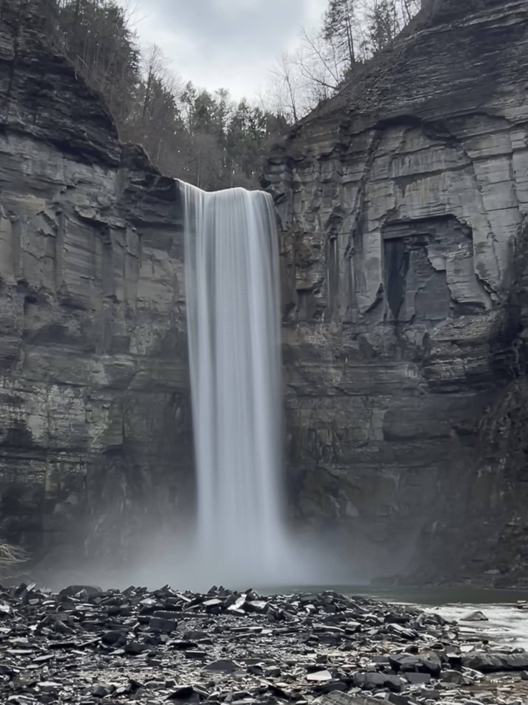
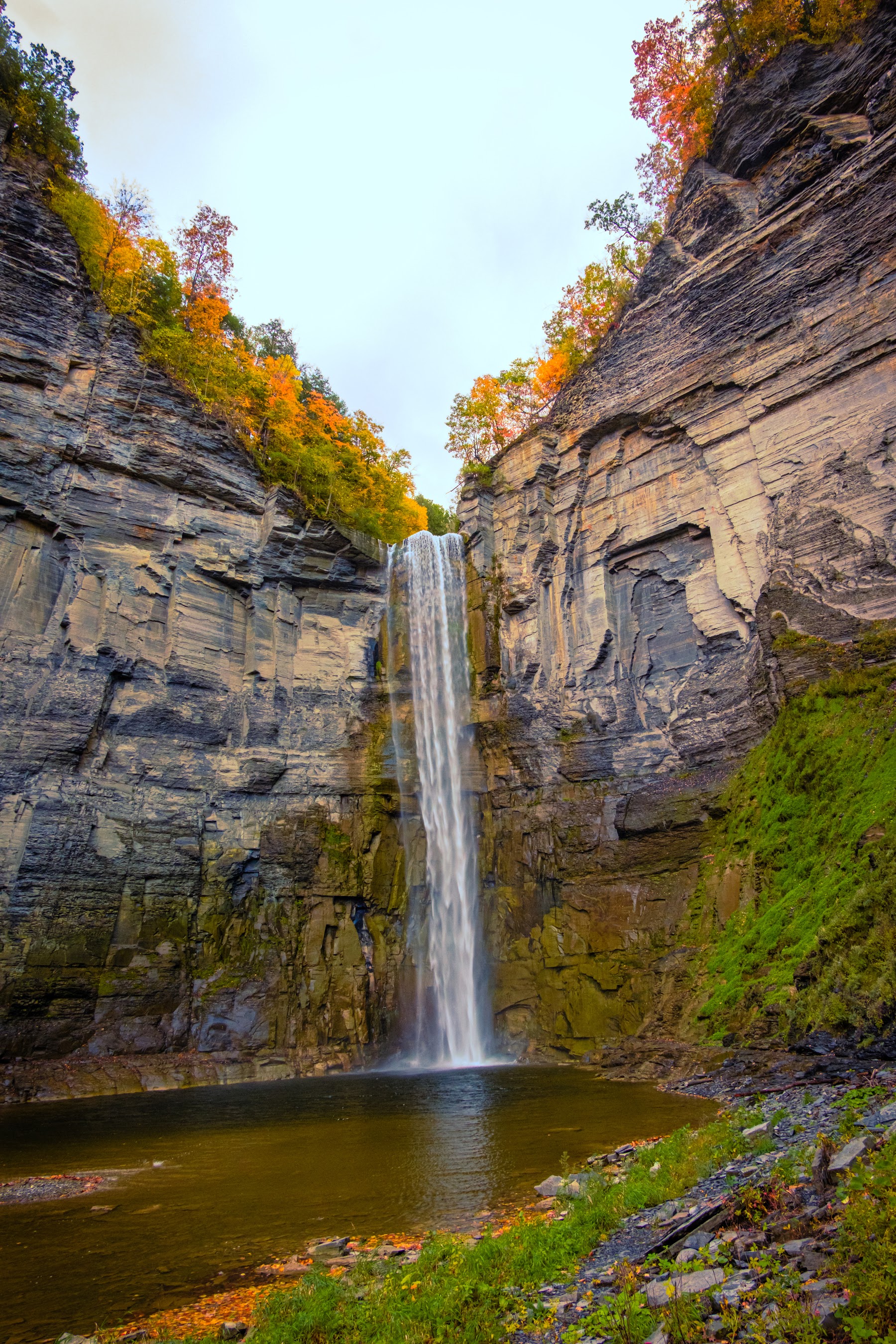
Taughannock Falls State Park is a 750-acre state park in Trumansburg, New York, renowned for its 215-foot waterfall that carves a path through a dramatic 400-foot gorge. In April, the falls are at their most powerful, fed by the region's snowmelt. The roar is incredible, and the spray can be felt from the viewing platform at the end of the easy Gorge Trail. Plan to spend 2-3 hours here to walk the trail and take in the views from the overlook above.
From Trumansburg, it's about a 4-hour drive (approx. 200 miles) south via I-81 S to our next stop in the Delaware Water Gap.
Stop 2: A Boardwalk Journey Through a Hemlock Forest
Dingmans Falls
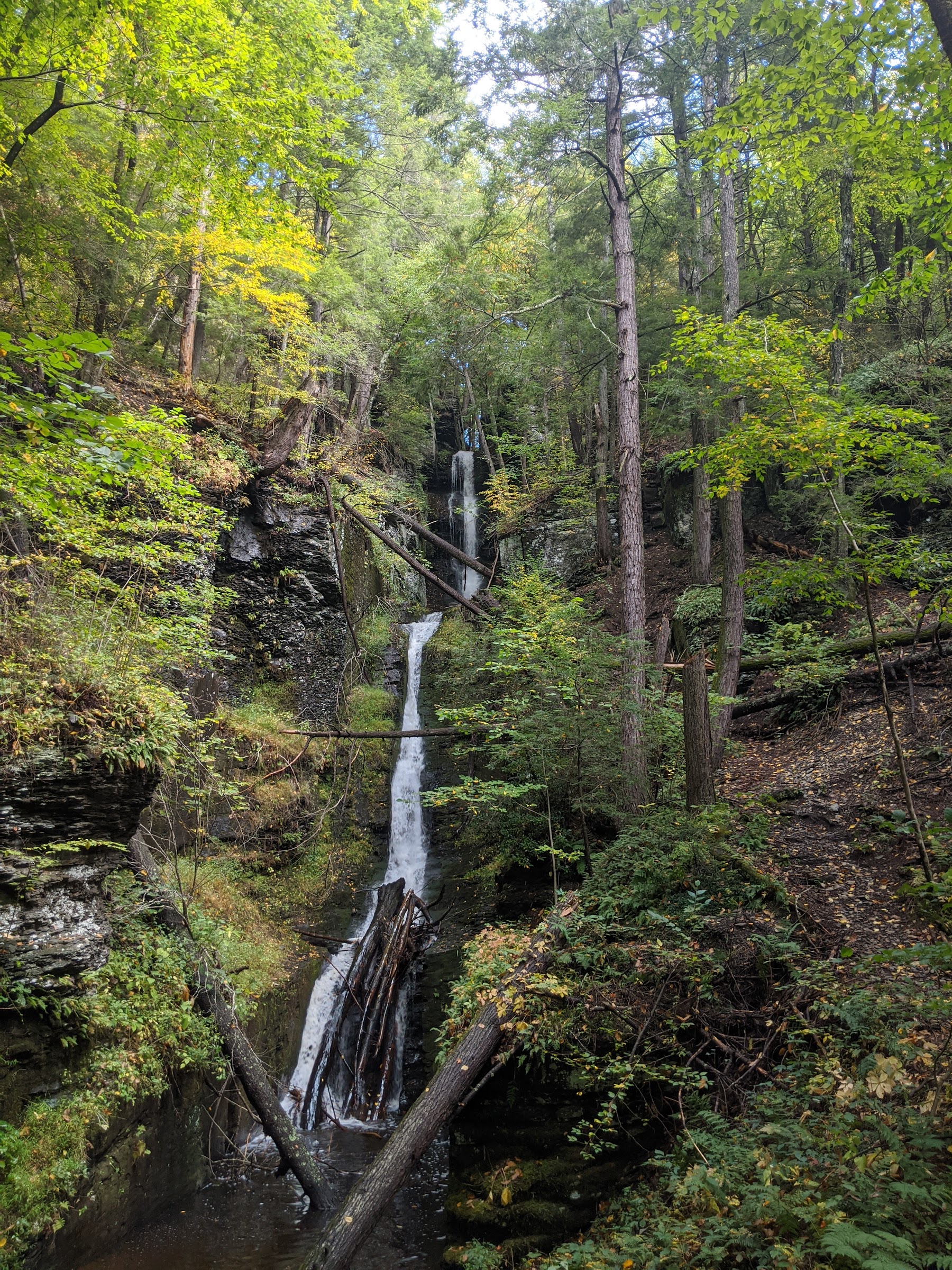
Dingmans Falls is the second tallest waterfall in Pennsylvania, located within the Delaware Water Gap National Recreation Area. What makes this stop special is the accessible boardwalk trail that winds through a beautiful, mature hemlock ravine. The short walk first leads you to the picturesque Silverthread Falls before culminating at the powerful 130-foot plunge of Dingmans Falls. The entire walk is less than a mile and offers a serene experience before the impressive main event.
Check Conditions Before You Go: Early spring weather can be unpredictable. Always check the official park websites for any trail closures, road conditions, or alerts before you visit. Some visitor centers and facilities may have limited hours during the shoulder season.
Stop 3: A Cascade Wonderland in the Smokies
Great Smoky Mountains National Park
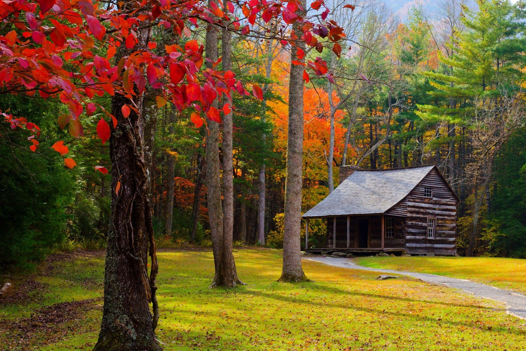
Great Smoky Mountains National Park is America's most visited national park, straddling the border of North Carolina and Tennessee. In April, the park is a paradise of flowing water and blooming wildflowers. While the mountains are full of cascades, must-see waterfalls include the powerful Abrams Falls and the unique Grotto Falls, where the trail actually takes you behind the curtain of water. Plan to spend at least two days here to explore different areas of this vast and beautiful park.

Self-Guided Audio Driving Tour in Great Smoky Mountains

Great Smoky Mountains National Park Self-Guided Audio Tour
The drive from Dingmans Ferry, PA, to Gatlinburg, TN (a popular park gateway), is the longest leg of the trip, taking around 9.5 hours (approx. 600 miles), primarily on I-81 S. From Gatlinburg, our final stop is a much shorter and scenic drive.
Stop 4: Georgia's Tallest Cascading Falls
Amicalola Falls State Park
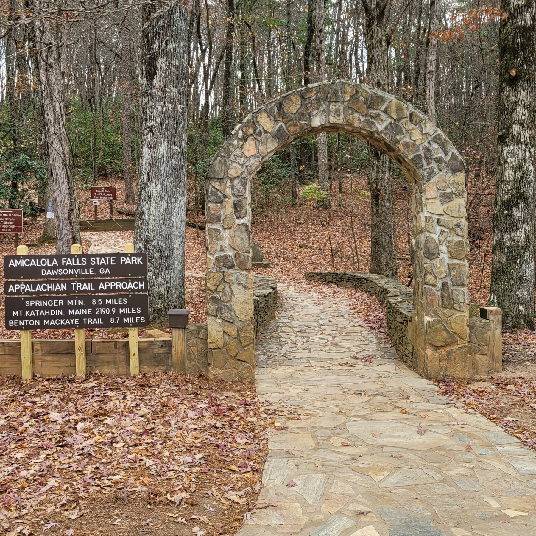
Amicalola Falls State Park & Lodge, located in Dawsonville, Georgia, is home to the state's tallest waterfall. At 729 feet, Amicalola Falls tumbles down a series of cliffs in a stunning display. An ambitious 604-step staircase runs alongside the falls, offering incredible, up-close views of the rushing water. For a less strenuous option, several overlooks are accessible by car or shorter trails. The drive from the Smokies is only about 2.5 hours (approx. 90 miles), making it a perfect final stop.